Demo Site – Gâvres
Location & Description
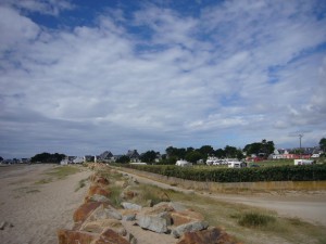
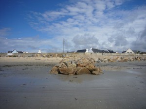
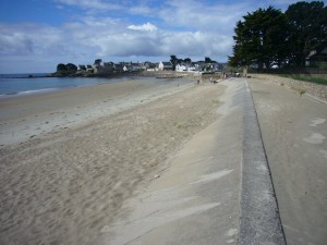
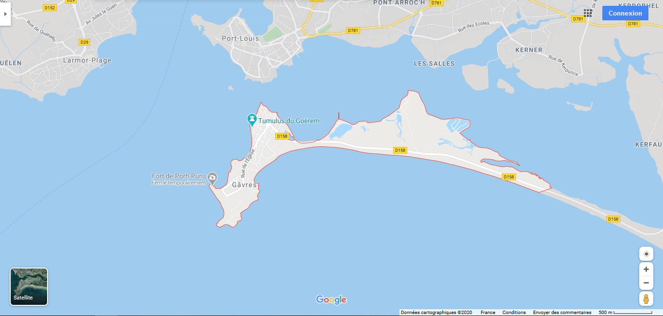
The Gâvres municipality is located on a peninsula, at the Blavet river mouth, in the conurbation of Pays de Lorient (Morbihan). The peninsula is connected to the mainland by a 6 km long tombolo. In 2009, 752 residents of the municipality lived on an area of less than 2 km². The main activity is the tourism with a population multiplied by 5 in summer. In 2009, the municipality counted 905 housings (including second homes).
Recent coastal floods
Gâvres had to deal with more than ten coastal flood events since 1864. The last memorable events are the ones from 10th of January 2001 and 10th of March 2008.
- "On 10 January 2001, the combination of a strong south-eastern wind with spring tide (tidal coefficient of 98) led to marine submersion. Between 4h and 5h am, waves were so high that the seawater overtopped the coastal defense structures, resulting in the flooding of the neighboring district (80 dwellings). Damages were observed on the roads, parking lots and sport ground, while the Grande-Plage coastal flood defense was partially destroyed. For more details, see GEOS & DHI (2011).
- On 10 March 2008, the combination spring tide (tidal coefficient of 106), a storm surge larger than 0.5m and significant swells led to a coastal flood mainly induced by wave overtopping of the Grande-Plage sea dike, and enhanced by damages in the dike. A hundred of houses were flooded, some by about one meter of water in the street of the sports park. For more details, see André (2013) or Le Roy et al. (2015).